The Kalumburu Road stretch from Drysdale River Station to the turn-off of Port Warrender Road can be very corrugated but when driving carefully it is no issue at all. Watch the surroundings change, as Livistona fan palms form little forests around you and replace the open scrubland and savanna view you are used to by now. It is best not to bring a caravan or camping trailer that is not specifically designed for off-road use, as the ungazetted Port Warrender Road Track is usually the last road to open in the Kimberley after the wet season and tends to be worse than what you have seen along the Kalumburu Road. Remember that the road being open does not necessarily mean that you can make it through with your car. Also make sure your car has insurance for this kind of road if you hired it.
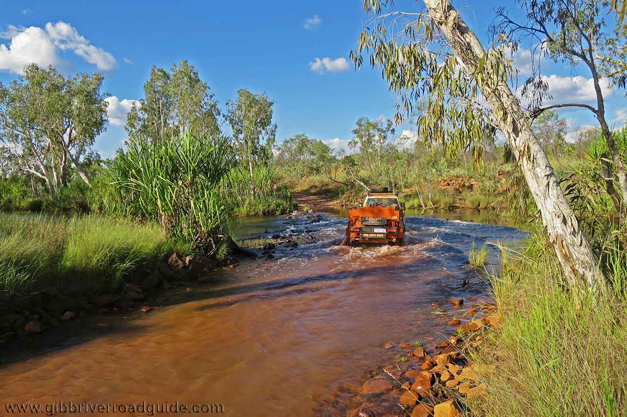
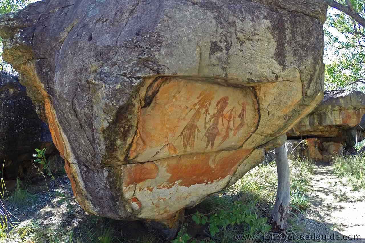
King Edward River Crossing comes already 6 km after the turn-off and is one of the major crossings in the Kimberley. The water levels here will determine whether you will be able to visit the sights on the other side of the river. The river bottom is rocky and the track curves slightly, so getting to the other side shouldn’t be a too big challenge when the water depth allows. The area across the river is a great place to take a break as the it is full of Aboriginal rock art, offers a beautiful campground and one of the most picturesque swimming holes as well as a little waterfall. It is well worth stopping here for a couple of hours or overnight before or after a trip to the Mitchell Plateau further down the road. Just make sure you are self-sufficient when you come up here, as Drysdale River Station was the last place to stock up in food, water and fuel.